
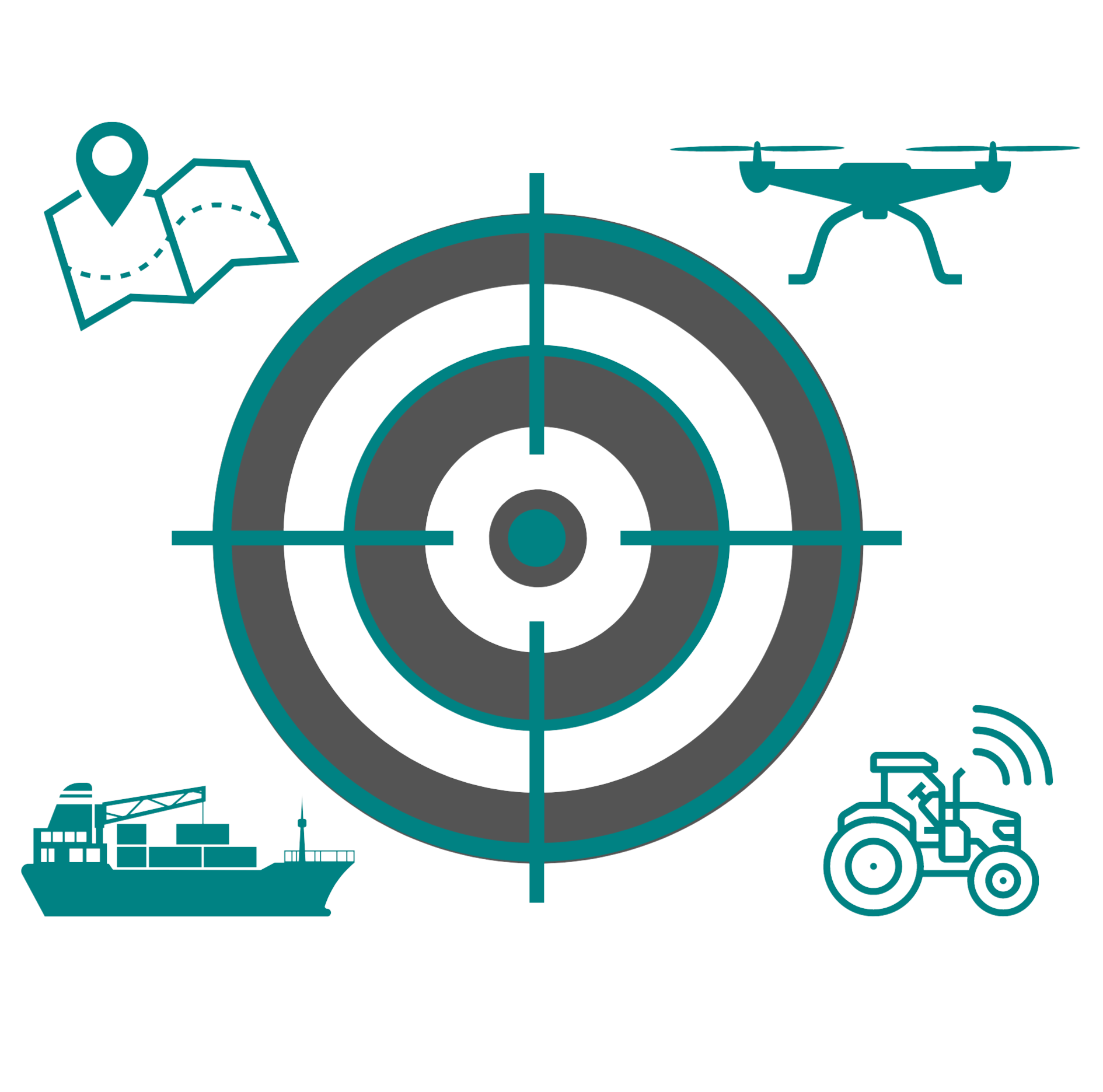
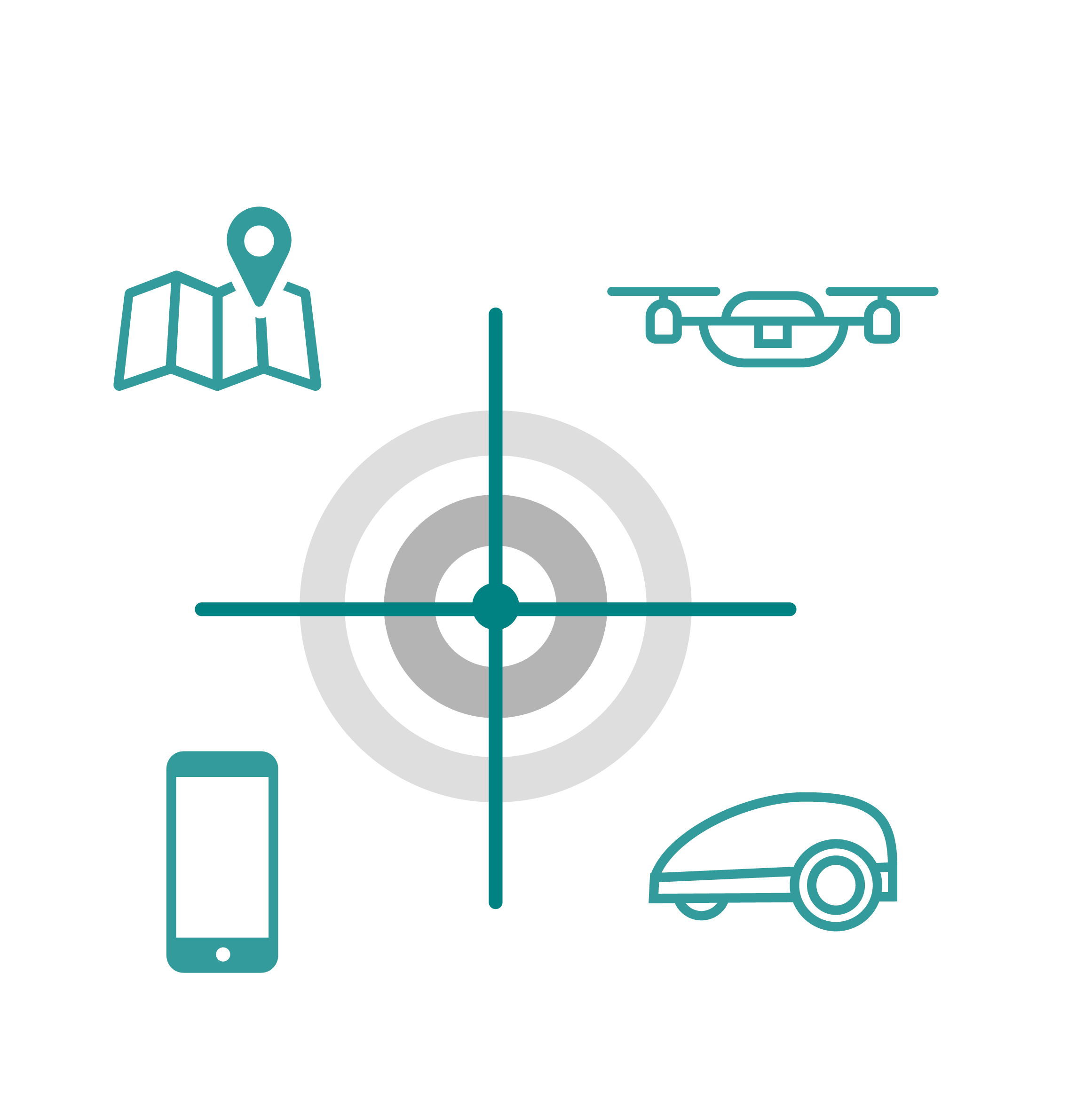
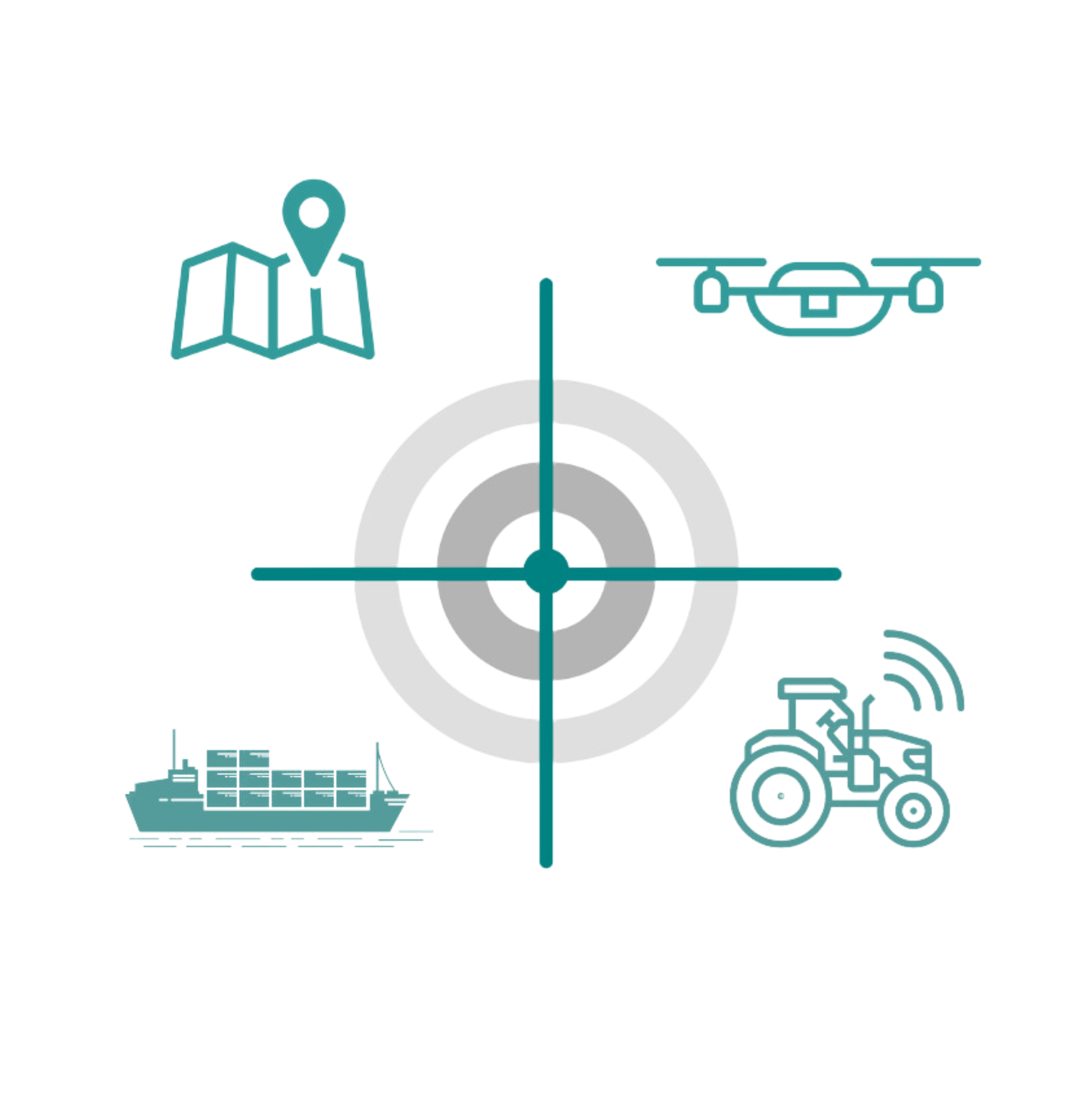
APPLICATIONS
Reliable, Versatile, and Efficient GNSS Assistance and Correction Services.
Rx Networks provides a comprehensive range of GNSS assistance and correction services designed to meet a wide variety of application needs — from sub-meter to centimeter-level accuracy. Whether you require precise positioning for consumer devices, asset tracking, smart agriculture or specialized industrial applications, our solutions deliver unparalleled reliability, efficiency, and global coverage to ensure your devices perform at their best, anywhere, anytime.
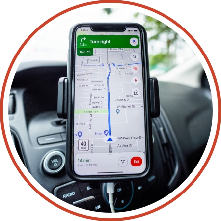
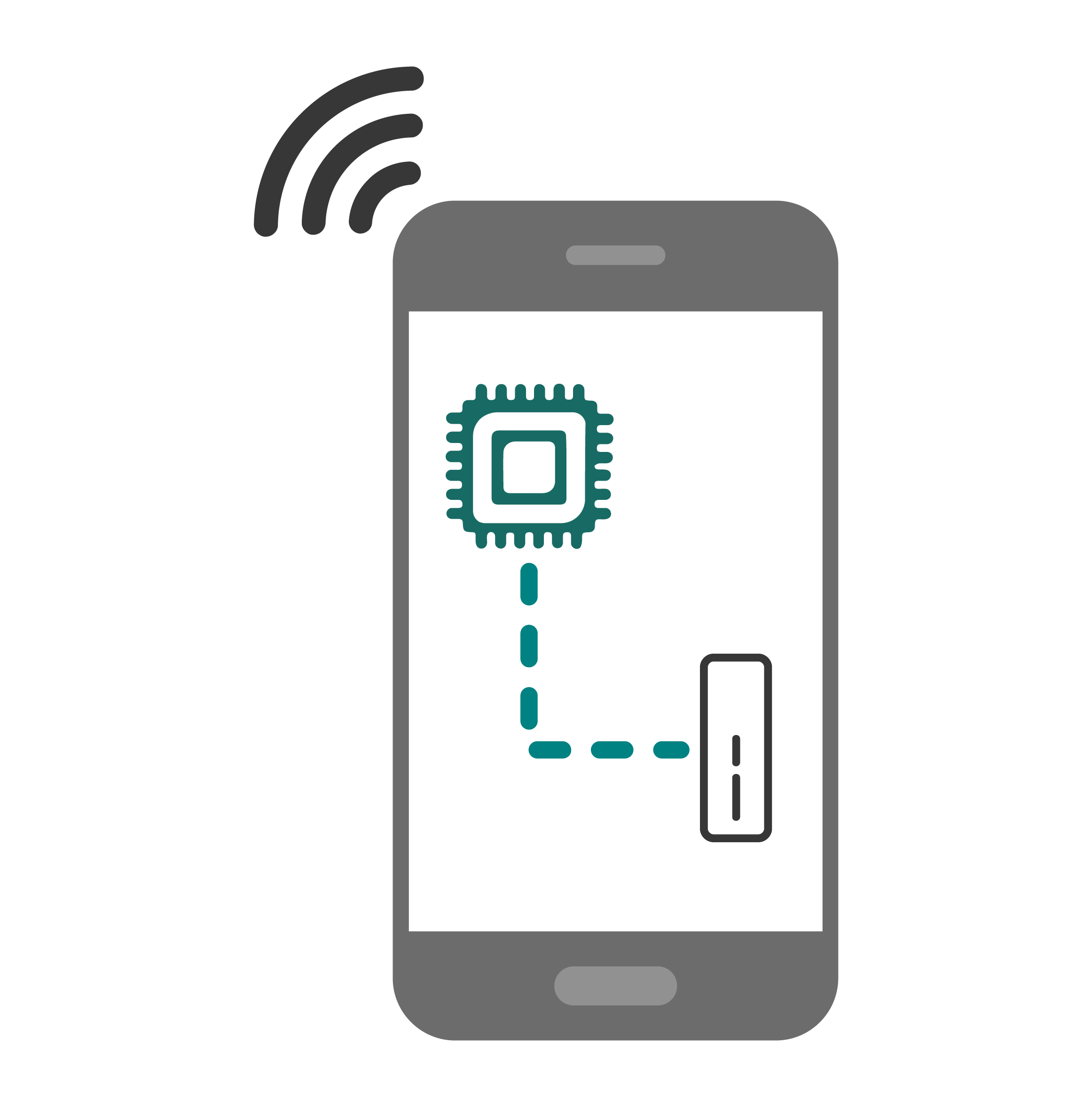
SmartPhone
Smartphones have evolved from simple communication devices into essential tools for navigation, mapping, and location-based services, making precise positioning more crucial than ever. TruePoint | LITE is specifically designed to address the growing demand for accuracy in smartphone applications, balancing precision with power efficiency.
With TruePoint | LITE, smartphone users can enjoy reliable and precise location services globally, enhancing experiences across various applications, from ride-sharing to navigation without sacrificing battery performance.
Products Used in SmartPhone
A power conscious GNSS precision solution.

Real-time data stream that provides GNSS information over an HTTP or FTP transport protocol.

Best for location accuracy, data traffic and device performance.

Best for location accuracy, data traffic and device performance.
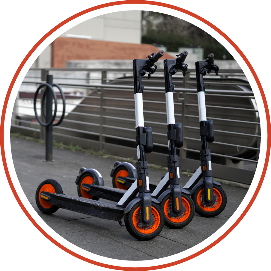
Micro Mobility
Efficient fleet management is crucial for maximizing the value of shared transportation services, whether you’re managing scooters or eBikes. With precise, real-time positioning, every rental vehicle can be tracked accurately, ensuring that the assets are utilized effectively and securely.
Products Used in Micro Mobility
A power conscious GNSS precision solution.
Centimeter accuracy with instantaneous convergence.
Robotics
The integration of robotics into everyday life is accelerating, from autonomous delivery vehicles and remote inspection services to automated lawn mowers and line-painting robots. As the use of robotic machines grows exponentially, precise navigation remains a critical component for autonomous mobile robots. Accurate positioning and orientation are essential for ensuring that these machines can navigate effectively.

Products Used in Robotics
A power conscious GNSS precision solution.
Centimeter accuracy with instantaneous convergence.
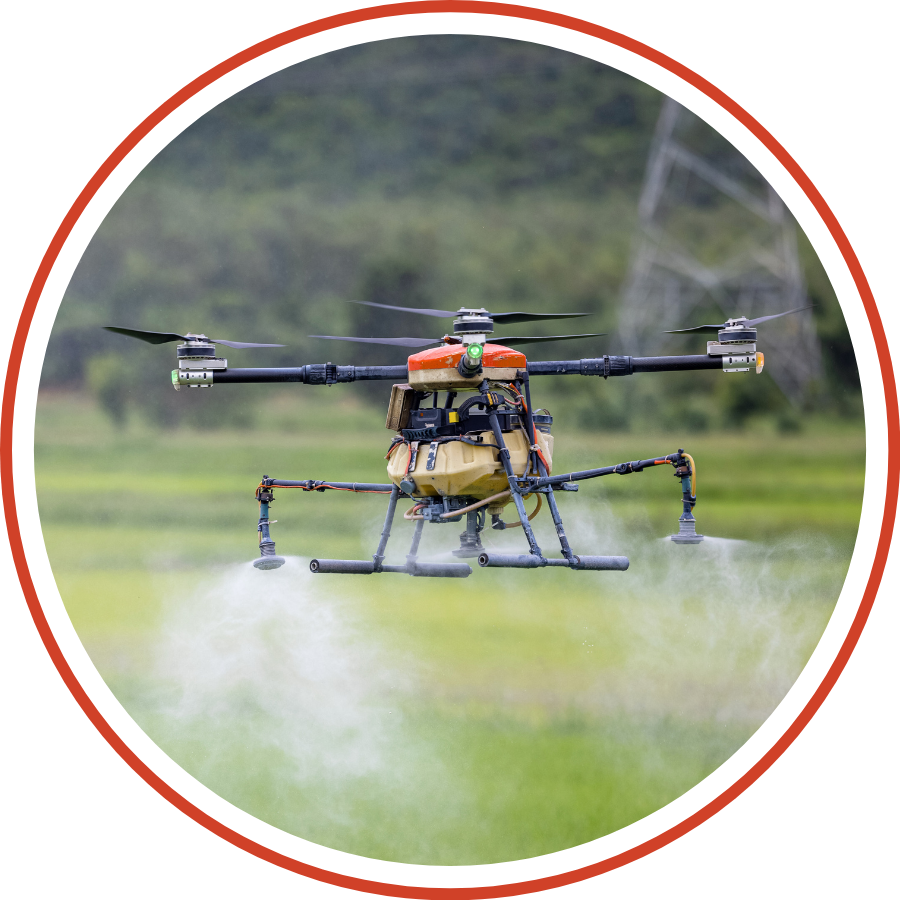
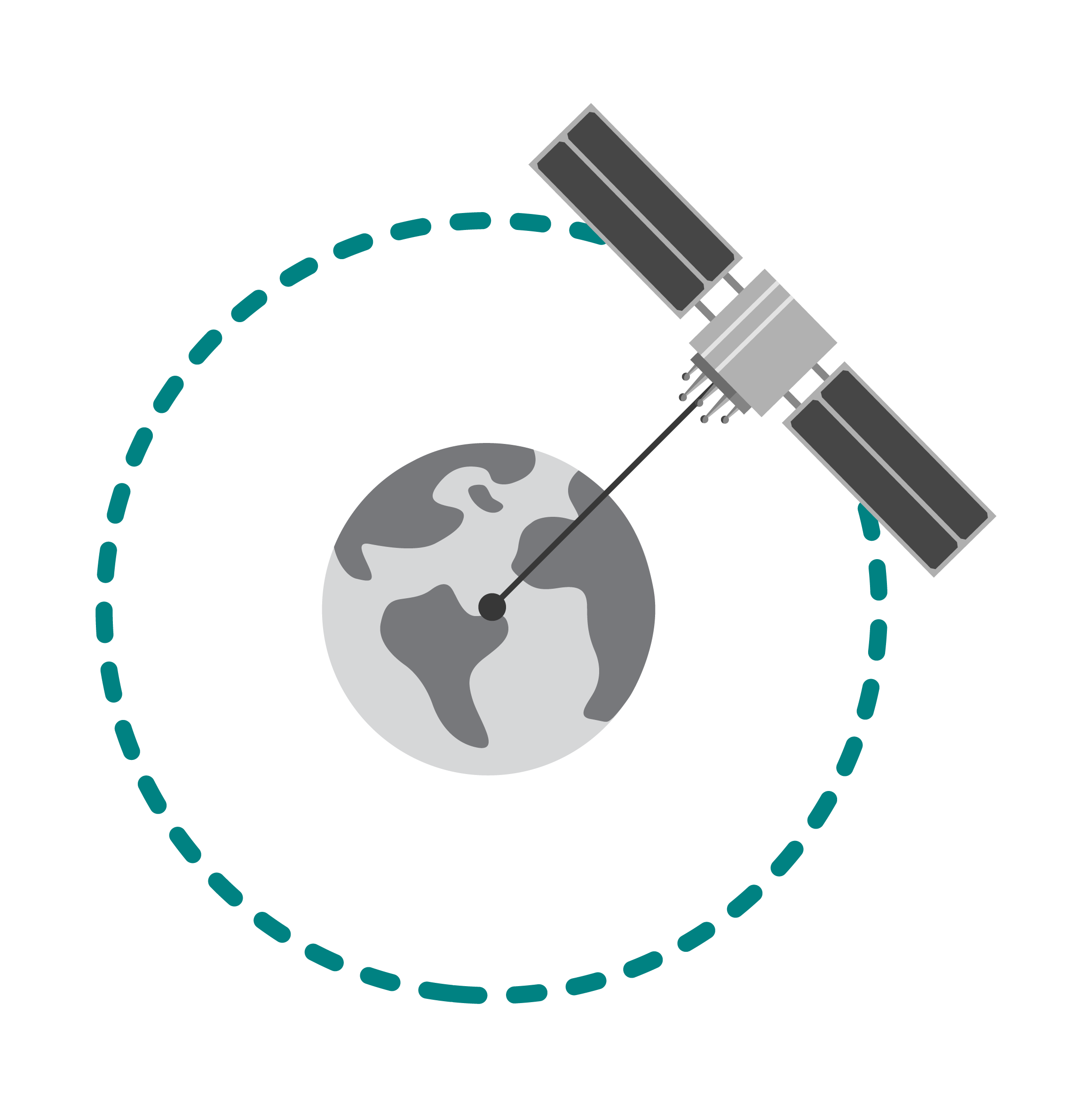
UAV
UAVs have revolutionized various industries, including aerial photography, infrastructure inspections, agricultural mapping, surveillance, and entertainment. The success of a UAV mission hinges on the stability, reliability, and accuracy provided by its flight control systems, which rely heavily on GNSS data.
GNSS plays a crucial role in UAV operations by delivering precise positioning data, ensuring mission accuracy and efficiency.

Products Used in UAV
A power conscious GNSS precision solution.
Precision without boundaries, CM accuracy on land and sea.
Centimeter accuracy with instantaneous convergence.
Precision Agriculture
TruePoint | REACH offers significant advantages for the Precision and Smart Agriculture market by delivering centimeter level accuracy and high precision positioning globally. As modern agriculture increasingly relies on autonomous machinery, drones, and sensors, TruePoint | REACH ensures that these technologies can operate with exceptional accuracy across expansive farmlands.
This accuracy allows for precise application of fertilizers, pesticides, and irrigation, reducing waste and improving crop yield. Additionally, its ability to maintain high performance in rural and remote areas, makes it an ideal solution for agricultural operations worldwide. By utilizing advanced GNSS technologies, TruePoint | REACH enables farmers to optimize field management practices, driving efficiency and sustainability.
Products Used in Agriculture
Precision without boundaries, CM accuracy on land and sea.
Centimeter accuracy with instantaneous convergence.
Mining
TruePoint | REACH offers a transformative solution for the mining industry by ensuring precise and reliable GNSS positioning in even the most challenging environments. With its unparalleled global coverage, TruePoint | REACH delivers centimeter-level accuracy crucial for optimizing mining operations, from fleet management to drilling automation. This high precision translates into increased efficiency, reducing operational costs and minimizing delays.
The solution’s robustness and reliability ensure that operations can continue seamlessly across large, remote mining sites, enhancing both productivity and safety while reducing dependency on multiple technologies or localized corrections. TruePoint | REACH empowers mining companies to operate with greater accuracy and confidence.

Products Used in Mining
Precision without boundaries, CM accuracy on land and sea.
Centimeter accuracy with instantaneous convergence.
GIS
TruePoint | REACH provides a powerful and precise GNSS solution ideal for the GIS market. By delivering centimeter-level accuracy with global reach, TruePoint | REACH enables GIS professionals to capture high-precision geospatial data in real-time, ensuring accuracy even in challenging environments.
Whether mapping urban infrastructures, monitoring environmental changes, or managing land and resource data, this solution supports the critical demands of GIS applications. The global coverage and optimized convergence time make it ideal for field surveys in remote locations, eliminating the need for extensive post-processing or external base stations.

Products Used in GIS
Precision without boundaries, CM accuracy on land and sea.
Centimeter accuracy with instantaneous convergence.
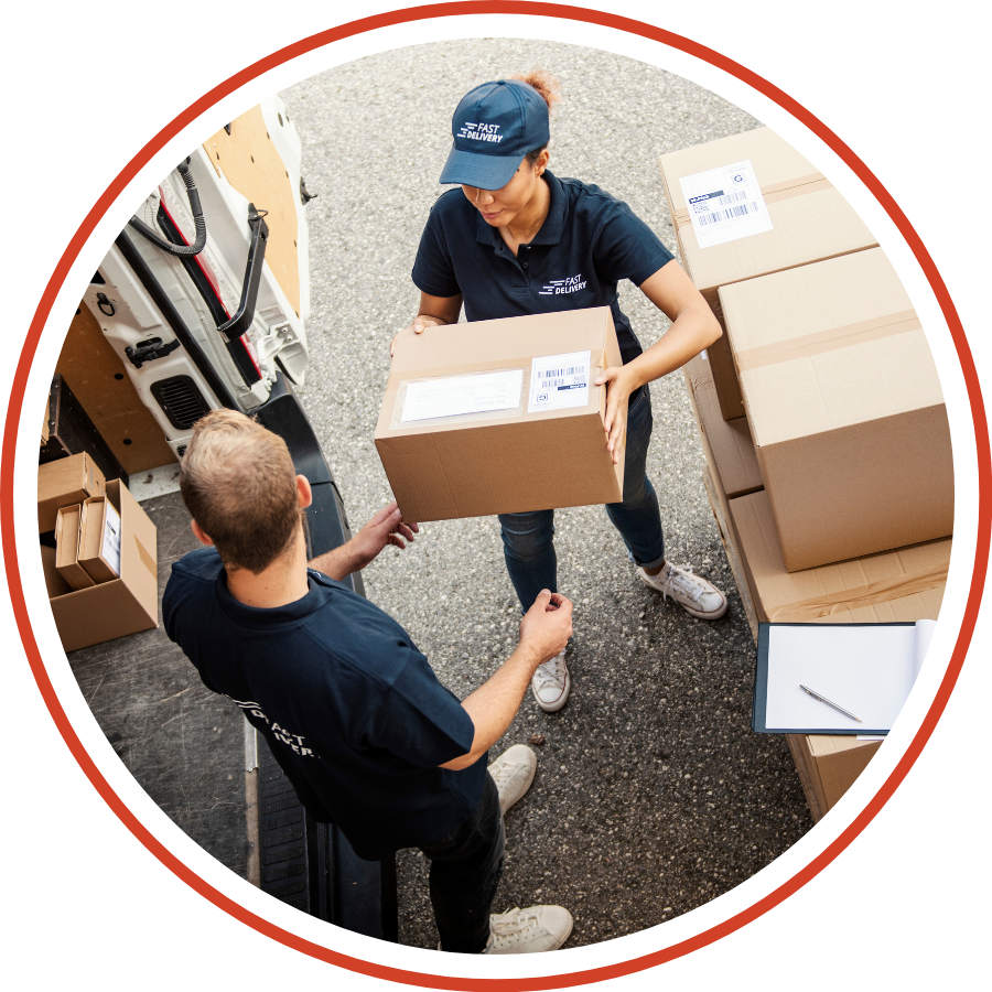
Last Mile
The “last mile” is the final leg of a delivery journey, a critical phase that ensures a package reaches its precise destination. For many delivery services, this is the most challenging and important part of the process. A package marked as “on its way” remains in transit until it is delivered exactly to the intended doorstep.
Whether it involves a delivery robot’s navigation system or a courier using a smartphone, precise location accuracy is crucial. This accuracy impacts not only the package’s arrival but also the efficiency of the delivery personnel and vehicles, all of which often rely on GNSS technology to perform their tasks effectively.
Products Used in Last Mile
A power conscious GNSS precision solution.
Centimeter accuracy with instantaneous convergence.
Asset Tracking
IoT-enabled asset tracking combines GNSS chipsets with cellular tower triangulation to precisely locate and monitor valuable assets. By integrating high-precision GNSS correction services, such as those offered by TruePoint | LITE, businesses can achieve positioning accuracy in their asset tracking, ensuring reliable, real-time visibility of their assets, whether they are stationary or in transit. This precision is critical for protecting and managing essential equipment across diverse environments.
Whether it’s industrial machinery, vehicle fleets, or livestock, every business relies on the safety and availability of its assets to succeed. Precision solutions in IoT asset tracking enhance secure and reliable monitoring of an asset’s location and health, which is vital for smooth operations. By leveraging these technologies, businesses can manage their assets more efficiently, minimize risks, optimize resource allocation, and uncover new revenue opportunities through improved operational efficiency. The added accuracy from GNSS correction services means better data for decision-making, reduced operational costs, and greater peace of mind.
Products Used in Asset Tracking
A power conscious GNSS precision solution.
Centimeter accuracy with instantaneous convergence.
Best for location accuracy, data traffic and device performance.
Best for location accuracy, data traffic and device performance.
Personnel Tracking
Knowing the real-time location of your crew members, especially those equipped with personal tracking devices, is vital to ensuring their safety. Accurate positioning provides critical insights into their proximity to danger zones or geofenced areas, enabling swift action when boundaries are breached or safety protocols are compromised.
In emergencies, you can quickly confirm whether crew members have reported to muster points or if they have entered restricted or hazardous zones, adding an extra layer of security for lone workers. During normal operations, geofencing combined with precise location data helps monitor personnel efficiency, prevent unauthorized access, and preemptively manage potential hazards. You’ll have the confidence that your specialists are exactly where they need to be, thanks to quick and accurate positioning.
Products Used in Personnel Tracking
A power conscious GNSS precision solution.
Centimeter accuracy with instantaneous convergence.
Best for location accuracy, data traffic and device performance.
Best for location accuracy, data traffic and device performance.
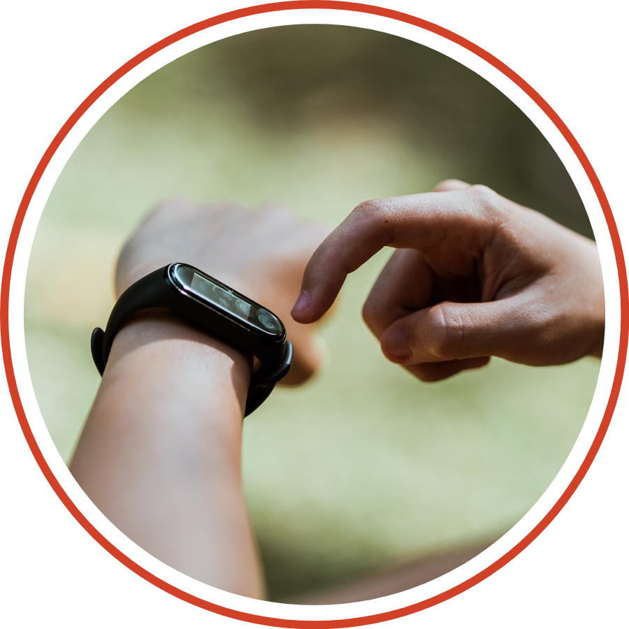
Wearables
Wearable devices, such as fitness trackers and smartwatches, have become integral to daily life, supporting a wide range of uses from fitness tracking and health monitoring to navigation and communication. High precision is crucial for these devices to ensure the accuracy of collected data, which directly impacts the user experience.
For example, accurate location tracking enables more reliable distance measurement for running or cycling, while precise positioning helps deliver relevant health data like heart rate variability during different physical activities. As wearables continue to evolve, integrating high-precision GNSS solutions becomes increasingly important to enhance data accuracy, ultimately leading to more personalized and effective health and fitness guidance for users.
Products Used in WEARABLES
A power conscious GNSS precision solution.
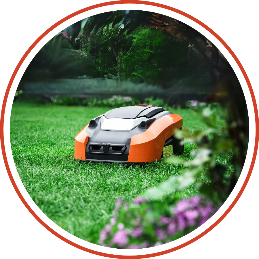
Lawn Mower
Traditional robotic mowers often rely on boundary wires and random movement patterns, limiting their precision and efficiency. With GNSS technology—enhanced by high-accuracy correction services—autonomous mowers can achieve centimeter-level positioning, enabling them to follow optimized routes, avoid obstacles, and deliver consistently clean results across a variety of environments.
That’s where Rx Networks makes a difference. Our high-availability GNSS correction services empower autonomous mowers to operate reliably and accurately—regardless of location or weather. With our solutions, mowers can cut with precision, eliminate overlap or missed zones, and scale seamlessly across residential, commercial, or specialty landscapes like golf courses. Smarter mowing starts with smarter positioning.
Products Used in Lawn Mower
Centimeter accuracy with instantaneous convergence.
Construction
Construction sites demand precision, and traditional positioning methods often fall short—especially when dealing with dynamic terrain, evolving site plans, and harsh conditions. By leveraging GNSS technology with high-accuracy correction services, autonomous and guided construction equipment can achieve centimeter-level positioning, making tasks like grading, excavation, and surveying faster, safer, and far more efficient.
That’s where Rx Networks comes in. Our high-availability GNSS correction services deliver the reliability and accuracy needed to keep machines operating with confidence—no matter the location or environment. From improving material usage to minimizing rework, our solutions help construction teams stay on schedule and on spec.

Products Used in CONSTRUCTION
Centimeter accuracy with instantaneous convergence.
Precision without boundaries, CM accuracy on land and sea.
Industrial IoT
In the Industrial IoT world, real-time data and location precision are critical for optimizing operations, automating workflows, and improving safety across connected assets. Whether it’s monitoring fleet movements, tracking high-value equipment, or managing logistics in remote areas, GNSS-enabled positioning plays a vital role—but only when it’s accurate and reliable.
That’s where Rx Networks steps in. Our high-accuracy GNSS correction services ensure IIoT devices get the precise location data they need, regardless of geography or environmental conditions. From smart factories to remote oilfields, our solutions enable scalable, real-time asset tracking and automation—powering smarter decisions and driving operational efficiency across the industrial landscape.

Products Used in INDUSTRIAL IOT
Centimeter accuracy with instantaneous convergence.
Fleet Management
In fleet management, every meter matters. Whether you’re tracking delivery vehicles in dense urban areas or coordinating heavy-duty trucks across long distances, accurate location data is essential for route optimization, fuel efficiency, and safety. Traditional GNSS alone can fall short—especially in challenging environments like cities, tunnels, or remote regions.
That’s where Rx Networks makes the difference. Our high-availability GNSS correction services enhance positioning accuracy down to the centimeter, enabling real-time tracking and smarter decision-making across your entire fleet. With better location insights, you can reduce idle time, minimize delays, and ensure assets and drivers stay exactly where they need to be—no matter the road ahead.

Products Used in Fleet Management
Centimeter accuracy with instantaneous convergence.
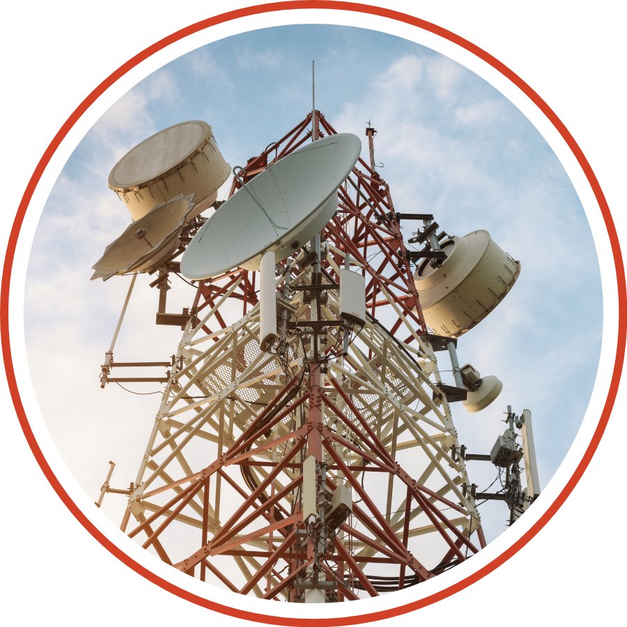
Telecom
In the fast-paced world of telecommunications, operators must ensure precise and reliable GNSS data delivery to all connected devices on their networks. This requires striking a balance between compatibility across a diverse range of GNSS-enabled devices and managing the bandwidth load efficiently.
Rx Networks provides seamless and secure GNSS data services, enhancing the accuracy of location-based services for billions of mobile users worldwide. Our proven solutions are especially critical in applications like E911, where accurate and immediate location data is crucial for dispatching emergency services, ensuring safety, and saving lives.
Products Used in Telecom
Centimeter accuracy with instantaneous convergence.
Real-time data stream that provides GNSS information over an HTTP or FTP transport protocol.
Best for location accuracy, data traffic and device performance.
Best for location accuracy, data traffic and device performance.
SmartPhone
Smartphones have evolved from simple communication devices into essential tools for navigation, mapping, and location-based services, making precise positioning more crucial than ever. TruePoint | LITE is specifically designed to address the growing demand for accuracy in smartphone applications, balancing precision with power efficiency.
With TruePoint | LITE, smartphone users can enjoy reliable and precise location services globally, enhancing experiences across various applications, from ride-sharing to navigation without sacrificing battery performance.
Products Used in SmartPhone
Micro Mobility
Efficient fleet management is crucial for maximizing the value of shared transportation services, whether you’re managing scooters or eBikes. With precise, real-time positioning, every rental vehicle can be tracked accurately, ensuring that the assets are utilized effectively and securely.
Products Used in Micro Mobility
Robotics
The integration of robotics into everyday life is accelerating, from autonomous delivery vehicles and remote inspection services to automated lawn mowers and line-painting robots. As the use of robotic machines grows exponentially, precise navigation remains a critical component for autonomous mobile robots. Accurate positioning and orientation are essential for ensuring that these machines can navigate effectively.

Products Used in Robotics
UAV
UAVs have revolutionized various industries, including aerial photography, infrastructure inspections, agricultural mapping, surveillance, and entertainment. The success of a UAV mission hinges on the stability, reliability, and accuracy provided by its flight control systems, which rely heavily on GNSS data.
GNSS plays a crucial role in UAV operations by delivering precise positioning data, ensuring mission accuracy and efficiency.
Products Used in UAV
Precision Agriculture
TruePoint | REACH offers significant advantages for the Precision and Smart Agriculture market by delivering centimeter level accuracy and high precision positioning globally. As modern agriculture increasingly relies on autonomous machinery, drones, and sensors, TruePoint | REACH ensures that these technologies can operate with exceptional accuracy across expansive farmlands.
This accuracy allows for precise application of fertilizers, pesticides, and irrigation, reducing waste and improving crop yield. Additionally, its ability to maintain high performance in rural and remote areas, makes it an ideal solution for agricultural operations worldwide. By utilizing advanced GNSS technologies, TruePoint | REACH enables farmers to optimize field management practices, driving efficiency and sustainability.
Products Used in PRECISION Agriculture
Mining
TruePoint | REACH offers a transformative solution for the mining industry by ensuring precise and reliable GNSS positioning in even the most challenging environments. With its unparalleled global coverage, TruePoint | REACH delivers centimeter-level accuracy crucial for optimizing mining operations, from fleet management to drilling automation. This high precision translates into increased efficiency, reducing operational costs and minimizing delays.
The solution’s robustness and reliability ensure that operations can continue seamlessly across large, remote mining sites, enhancing both productivity and safety while reducing dependency on multiple technologies or localized corrections. TruePoint | REACH empowers mining companies to operate with greater accuracy and confidence.
Products Used in Mining
GIS
TruePoint | REACH provides a powerful and precise GNSS solution ideal for the GIS market. By delivering centimeter-level accuracy with global reach, TruePoint | REACH enables GIS professionals to capture high-precision geospatial data in real-time, ensuring accuracy even in challenging environments.
Whether mapping urban infrastructures, monitoring environmental changes, or managing land and resource data, this solution supports the critical demands of GIS applications. The global coverage and optimized convergence time make it ideal for field surveys in remote locations, eliminating the need for extensive post-processing or external base stations.
Products Used in GIS
Last Mile
The “last mile” is the final leg of a delivery journey, a critical phase that ensures a package reaches its precise destination. For many delivery services, this is the most challenging and important part of the process. A package marked as “on its way” remains in transit until it is delivered exactly to the intended doorstep.
Whether it involves a delivery robot’s navigation system or a courier using a smartphone, precise location accuracy is crucial. This accuracy impacts not only the package’s arrival but also the efficiency of the delivery personnel and vehicles, all of which often rely on GNSS technology to perform their tasks effectively.
Products Used in Last Mile
Asset Tracking
IoT-enabled asset tracking combines GNSS chipsets with cellular tower triangulation to precisely locate and monitor valuable assets. By integrating high-precision GNSS correction services, such as those offered by TruePoint | LITE, businesses can achieve positioning accuracy in their asset tracking, ensuring reliable, real-time visibility of their assets, whether they are stationary or in transit. This precision is critical for protecting and managing essential equipment across diverse environments.
Whether it’s industrial machinery, vehicle fleets, or livestock, every business relies on the safety and availability of its assets to succeed. Precision solutions in IoT asset tracking enhance secure and reliable monitoring of an asset’s location and health, which is vital for smooth operations. By leveraging these technologies, businesses can manage their assets more efficiently, minimize risks, optimize resource allocation, and uncover new revenue opportunities through improved operational efficiency. The added accuracy from GNSS correction services means better data for decision-making, reduced operational costs, and greater peace of mind.
Products Used in Asset Tracking
Personnel Tracking
Knowing the real-time location of your crew members, especially those equipped with personal tracking devices, is vital to ensuring their safety. Accurate positioning provides critical insights into their proximity to danger zones or geofenced areas, enabling swift action when boundaries are breached or safety protocols are compromised.
In emergencies, you can quickly confirm whether crew members have reported to muster points or if they have entered restricted or hazardous zones, adding an extra layer of security for lone workers. During normal operations, geofencing combined with precise location data helps monitor personnel efficiency, prevent unauthorized access, and preemptively manage potential hazards. You’ll have the confidence that your specialists are exactly where they need to be, thanks to quick and accurate positioning.

Products Used in Personnel Tracking
Wearables
Wearable devices, such as fitness trackers and smartwatches, have become integral to daily life, supporting a wide range of uses from fitness tracking and health monitoring to navigation and communication. High precision is crucial for these devices to ensure the accuracy of collected data, which directly impacts the user experience.
For example, accurate location tracking enables more reliable distance measurement for running or cycling, while precise positioning helps deliver relevant health data like heart rate variability during different physical activities. As wearables continue to evolve, integrating high-precision GNSS solutions becomes increasingly important to enhance data accuracy, ultimately leading to more personalized and effective health and fitness guidance for users.
Products Used in WEARABLES
Lawn Mower
Traditional robotic mowers often rely on boundary wires and random movement patterns, limiting their precision and efficiency. With GNSS technology—enhanced by high-accuracy correction services—autonomous mowers can achieve centimeter-level positioning, enabling them to follow optimized routes, avoid obstacles, and deliver consistently clean results across a variety of environments.
That’s where Rx Networks makes a difference. Our high-availability GNSS correction services empower autonomous mowers to operate reliably and accurately—regardless of location or weather. With our solutions, mowers can cut with precision, eliminate overlap or missed zones, and scale seamlessly across residential, commercial, or specialty landscapes like golf courses. Smarter mowing starts with smarter positioning.
Products Used in LAWN MOWER
Construction
Construction sites demand precision, and traditional positioning methods often fall short—especially when dealing with dynamic terrain, evolving site plans, and harsh conditions. By leveraging GNSS technology with high-accuracy correction services, autonomous and guided construction equipment can achieve centimeter-level positioning, making tasks like grading, excavation, and surveying faster, safer, and far more efficient.
That’s where Rx Networks comes in. Our high-availability GNSS correction services deliver the reliability and accuracy needed to keep machines operating with confidence—no matter the location or environment. From improving material usage to minimizing rework, our solutions help construction teams stay on schedule and on spec.
Products Used in construction
Industrial IoT
In the Industrial IoT world, real-time data and location precision are critical for optimizing operations, automating workflows, and improving safety across connected assets. Whether it’s monitoring fleet movements, tracking high-value equipment, or managing logistics in remote areas, GNSS-enabled positioning plays a vital role—but only when it’s accurate and reliable.
That’s where Rx Networks steps in. Our high-accuracy GNSS correction services ensure IIoT devices get the precise location data they need, regardless of geography or environmental conditions. From smart factories to remote oilfields, our solutions enable scalable, real-time asset tracking and automation—powering smarter decisions and driving operational efficiency across the industrial landscape.
Products Used in Industrial iot
Fleet Management
In fleet management, every meter matters. Whether you’re tracking delivery vehicles in dense urban areas or coordinating heavy-duty trucks across long distances, accurate location data is essential for route optimization, fuel efficiency, and safety. Traditional GNSS alone can fall short—especially in challenging environments like cities, tunnels, or remote regions.
That’s where Rx Networks makes the difference. Our high-availability GNSS correction services enhance positioning accuracy down to the centimeter, enabling real-time tracking and smarter decision-making across your entire fleet. With better location insights, you can reduce idle time, minimize delays, and ensure assets and drivers stay exactly where they need to be—no matter the road ahead.
Products Used in fleet management
Telecom
In the fast-paced world of telecommunications, operators must ensure precise and reliable GNSS data delivery to all connected devices on their networks. This requires striking a balance between compatibility across a diverse range of GNSS-enabled devices and managing the bandwidth load efficiently.
Rx Networks provides seamless and secure GNSS data services, enhancing the accuracy of location-based services for billions of mobile users worldwide. Our proven solutions are especially critical in applications like E911, where accurate and immediate location data is crucial for dispatching emergency services, ensuring safety, and saving lives.
